Prehistoric Archaeology with Aerial LiDAR
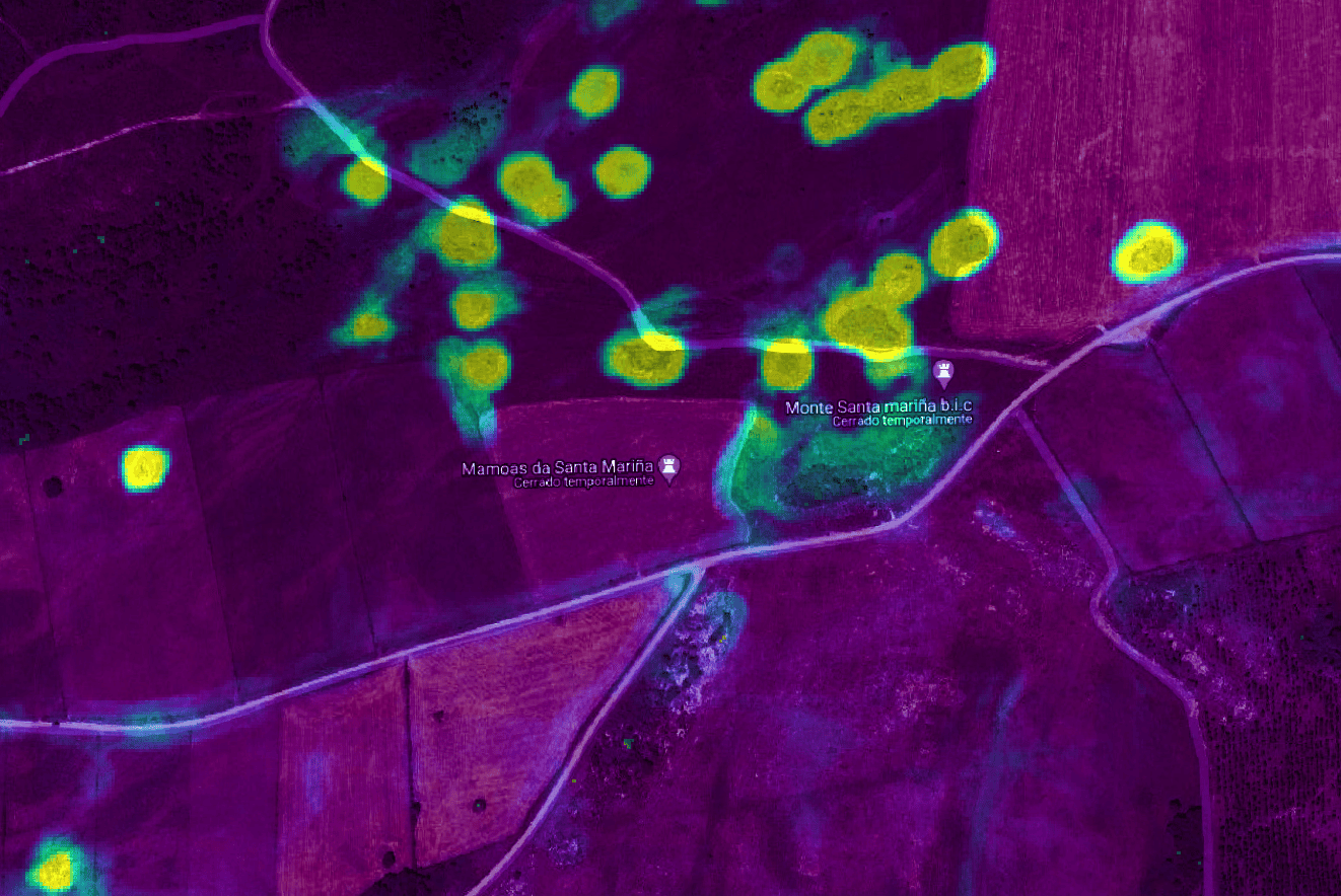
Developed in conjunction with the Prehistory area of the Department of Geography and History of the University of Santiago de Compostela (USC), this interdisciplinary project focuses on the detection of megalithic mounds in the Sarria region (Lugo), through the classification of data obtained by aerial LiDAR scanning (ALS).
By training models of classical computational learning according to the active learning paradigm, we perform point-to-point classification and evaluate its plausibility and point-to-point uncertainty, concluding with the automatic generation of geographic rasters useful for archaeological decision-making and citizen science that can be exploited in Geographic Information Systems (GIS).

This project opens an interdisciplinary research line combining prehistoric archaeology, supercomputing, and artificial intelligence with the aim of producing scientific publications, making methodological innovations for archaeological research, and developing citizen science applications.