Experts in point cloud processing
We transform your point clouds into tangible knowledge through artificial intelligence.
What we deliver
AI solutions that automate industrial workflows
We design and deploy artificial intelligence that replaces manual, repetitive classification work across industries.
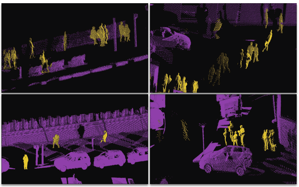
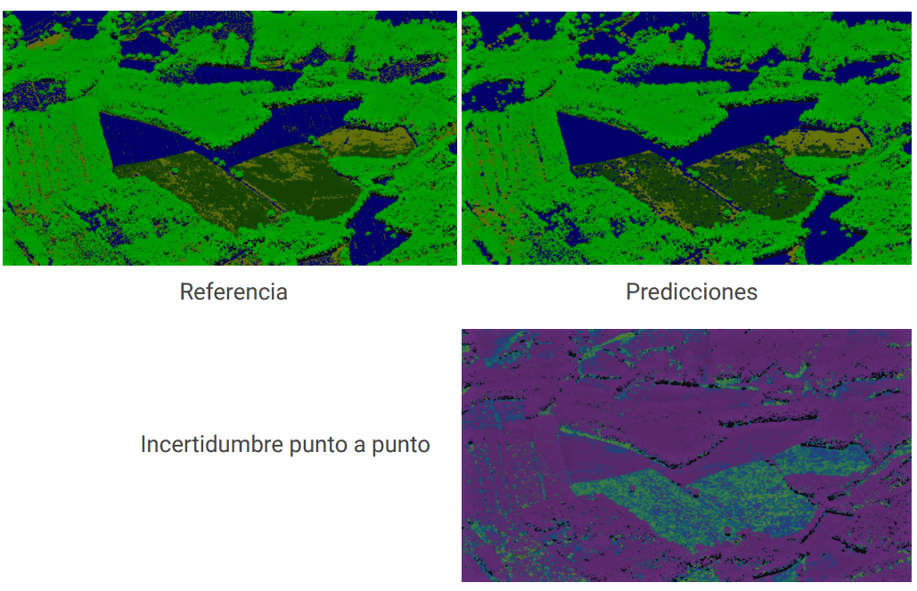
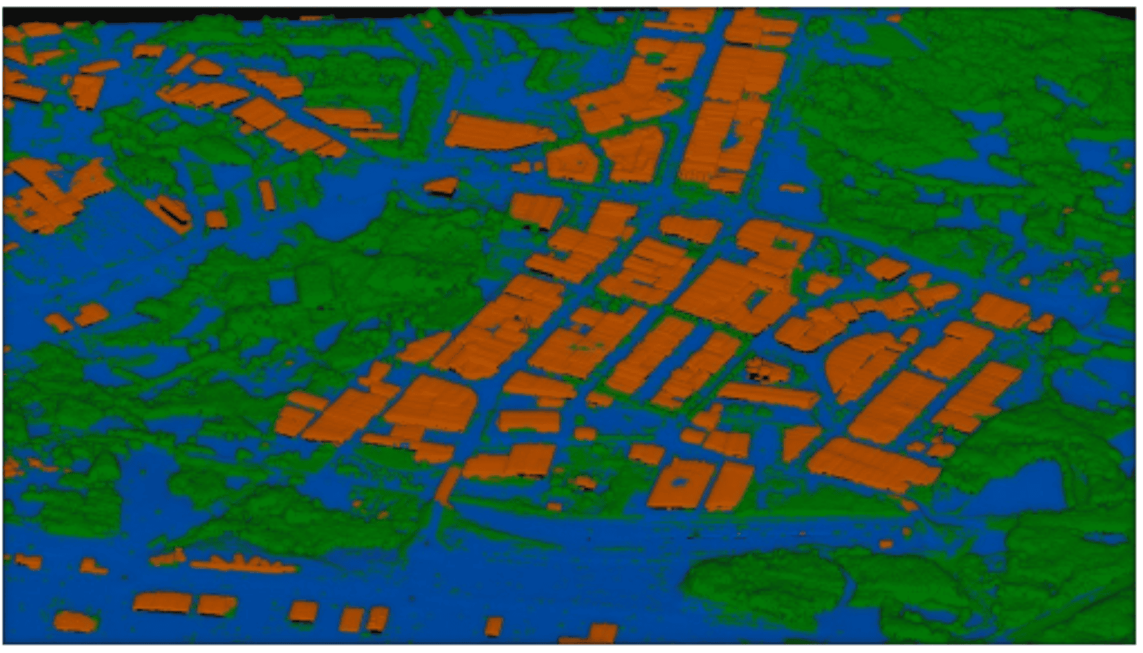
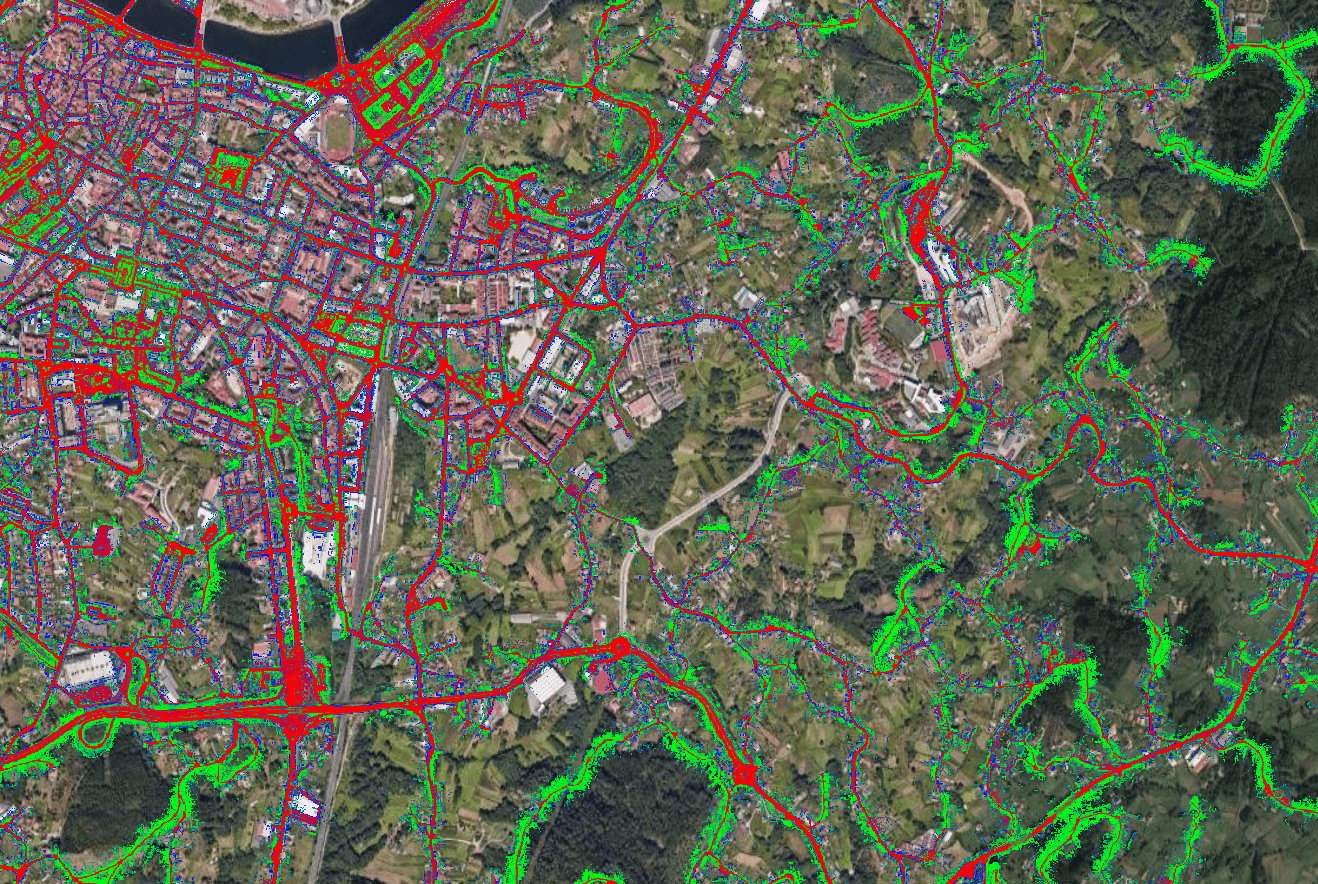
Classification and segmentation
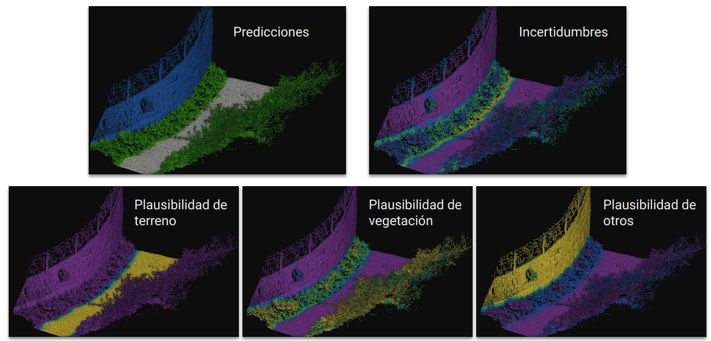
Automated QA and validation
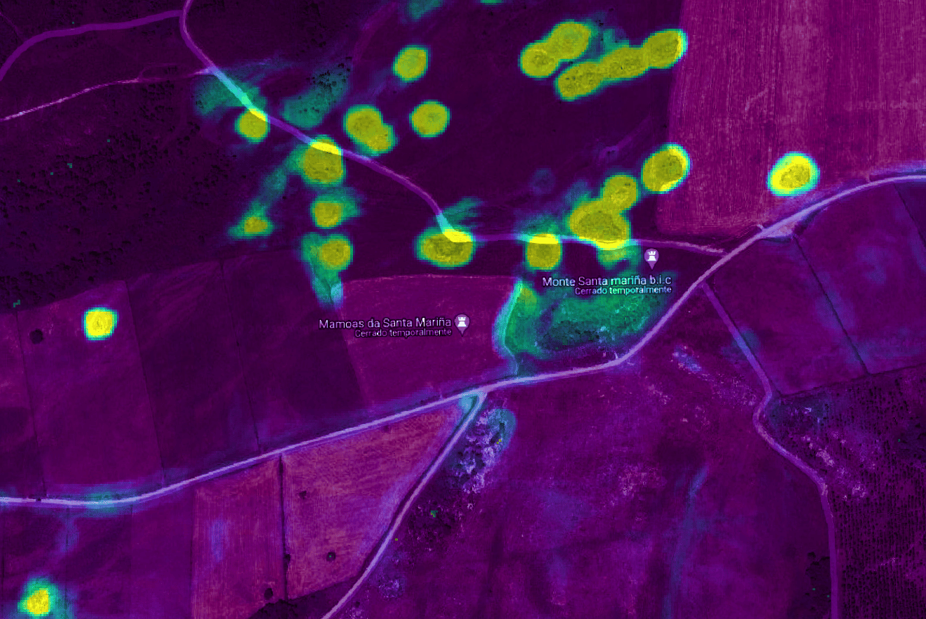
Change detection
From pain to pipeline
A better workflow for point clouds
We replace slow, manual classification with automated pipelines tailored to your data and delivered at scale.
- Automated classification
- AI models tuned to your datasets reduce manual labeling and review.
- Quality you can trust
- Auditable outputs, clear metrics, and repeatable processing for every delivery.
- Scales with demand
- From pilots to national-scale surveys, we handle massive point clouds efficiently.
How it works
From raw data to trusted outputs
A clear pipeline that turns point clouds into repeatable, high-quality decisions.
-
Input data
LiDAR, photogrammetry, and terrestrial point clouds from your sources.
-
AI models
We train and deploy models tailored to your datasets using our framework VirtuaLearn3D .
-
Outputs
Classified layers, detections, and metrics delivered in your formats.
-
Retrain and improve
Feedback loops keep performance improving as new data arrives.
Proof
Our projects
A selection of our success stories and corporate R&D projects.
Contact
Talk with us about your data
Share your dataset goals and we will map the best workflow and platform approach.