Large-scale classification with aerial LiDAR
As part of our R&D plan, we are analyzing approximately 30,000 square kilometers (36 billion points) of the Galicia autonomous community, scanned with aerial LiDAR (ALS) in the context of the second edition of the National Plan for Aerial Orthophotography (PNOA-II) by the National Geographic Institute of Spain.
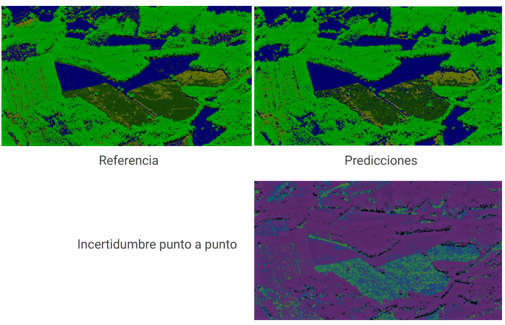
This ambitious project, currently ongoing, aims to quantify the quality of the classification of structures and vegetation across the entire scanned extent with aerial LiDAR. To achieve this, we train various deep machine learning models using supervised learning, perform point-to-point classification, and compare them based on their quality, correlation, and uncertainty metrics. Additionally, we assess their performance in different tasks of automatic classification, such as the classification of high, low, and medium vegetation:

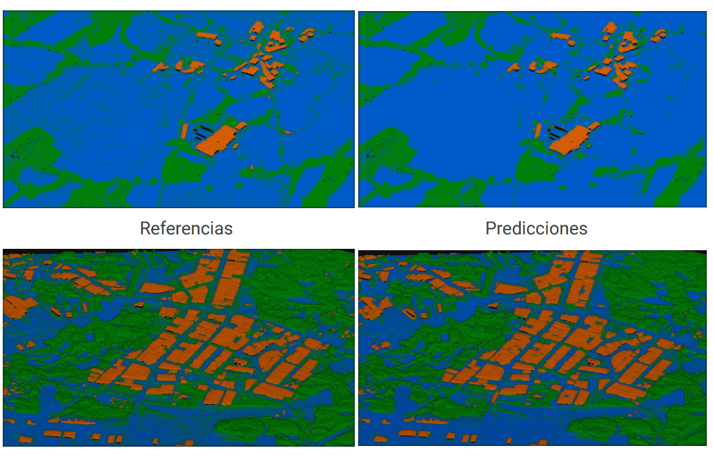
As well as the joint automatic classification of buildings and vegetation, among others:
