Road study of the Pontevedra region
Our first project, commissioned by the Cartographic Engineering Laboratory (CARTOLAB) at the University of A Coruña, is ambitious and in line with the innovative spirit of our company.
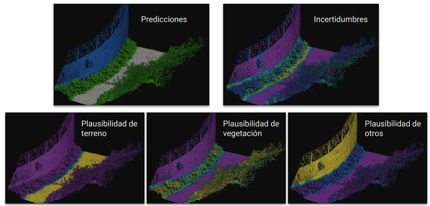
By training a classic computational learning model through active learning, we automatically classified over 800 km (3.5 billion points) of the road network of the region of Pontevedra, measured with Mobile LiDAR Scanning (MLS). As part of our analysis, we not only obtain point-to-point predictions specifying the class of each point, but also calculate uncertainties and plausibilities to understand the strengths and weaknesses of the model, which is crucial to avoid generalization problems when applying the active learning paradigm.

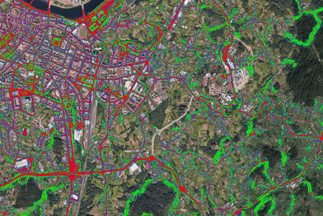
The project concludes satisfactorily with the automatic generation of multiple geographic rasters, validated by comparison using QGIS with Google satellite maps.
