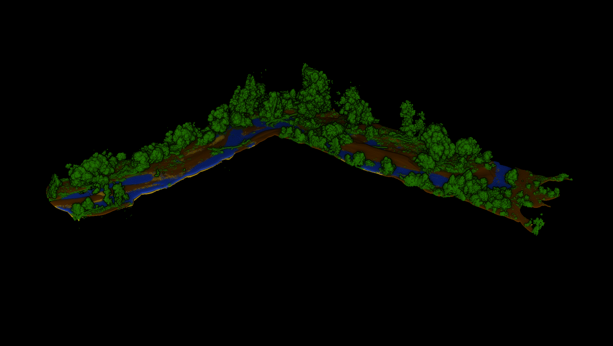
Tagus riverbank: automated urban and forest inventory
Intelligent point-cloud classification along the Tagus riverbank separates roads, parking areas, and pedestrian zones while isolating civil infrastructure from natural components and filtering temporary elements such as vehicles or street furniture.
On top of that segmentation, we run automated forest inventory with individual tree counting, estimating position, height, and canopy diameter for risk audits, pruning planning, and objective municipal asset management.