Forestry and environmental monitoring

Vegetation analysis, biomass estimates, and change detection.

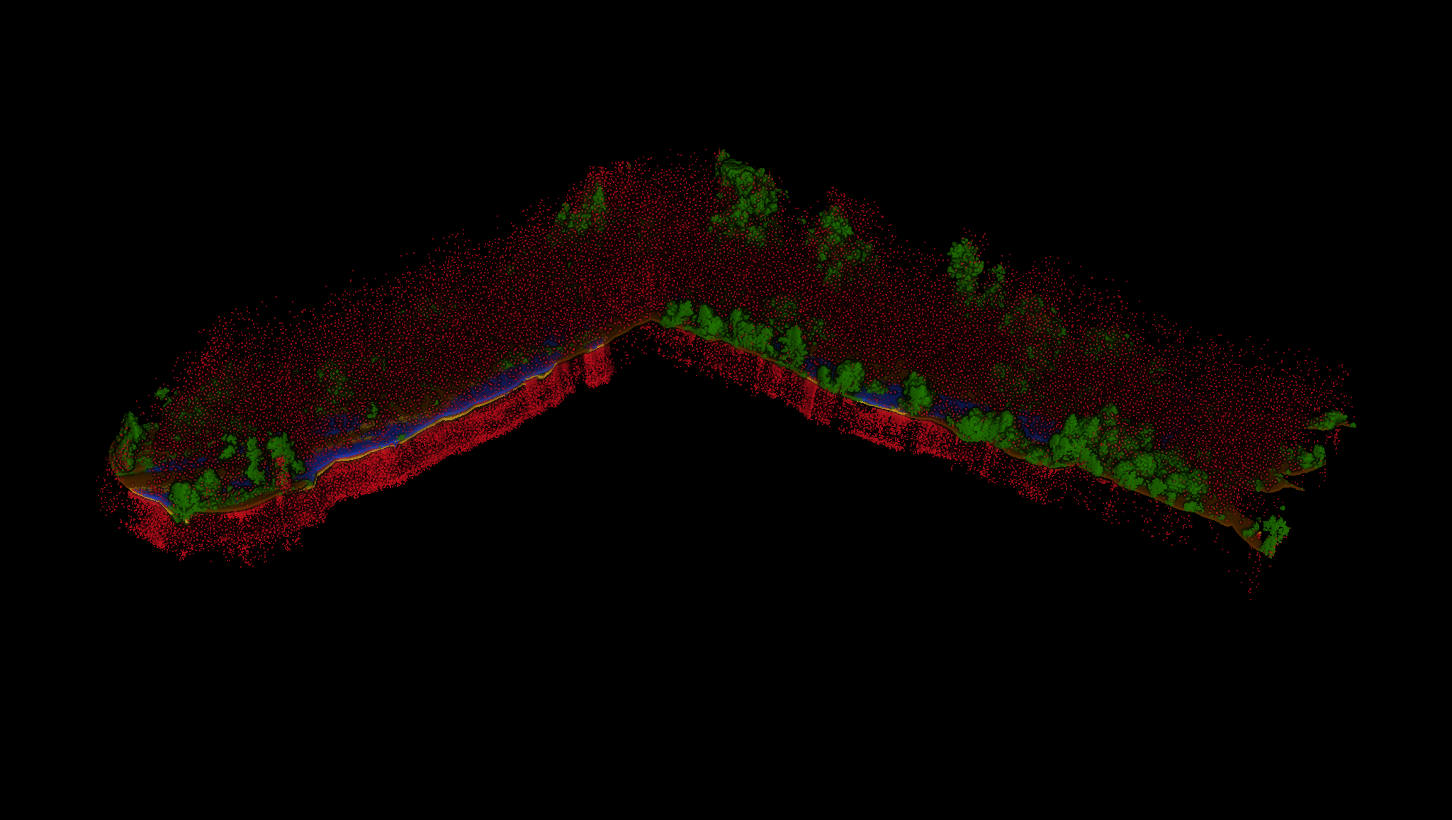
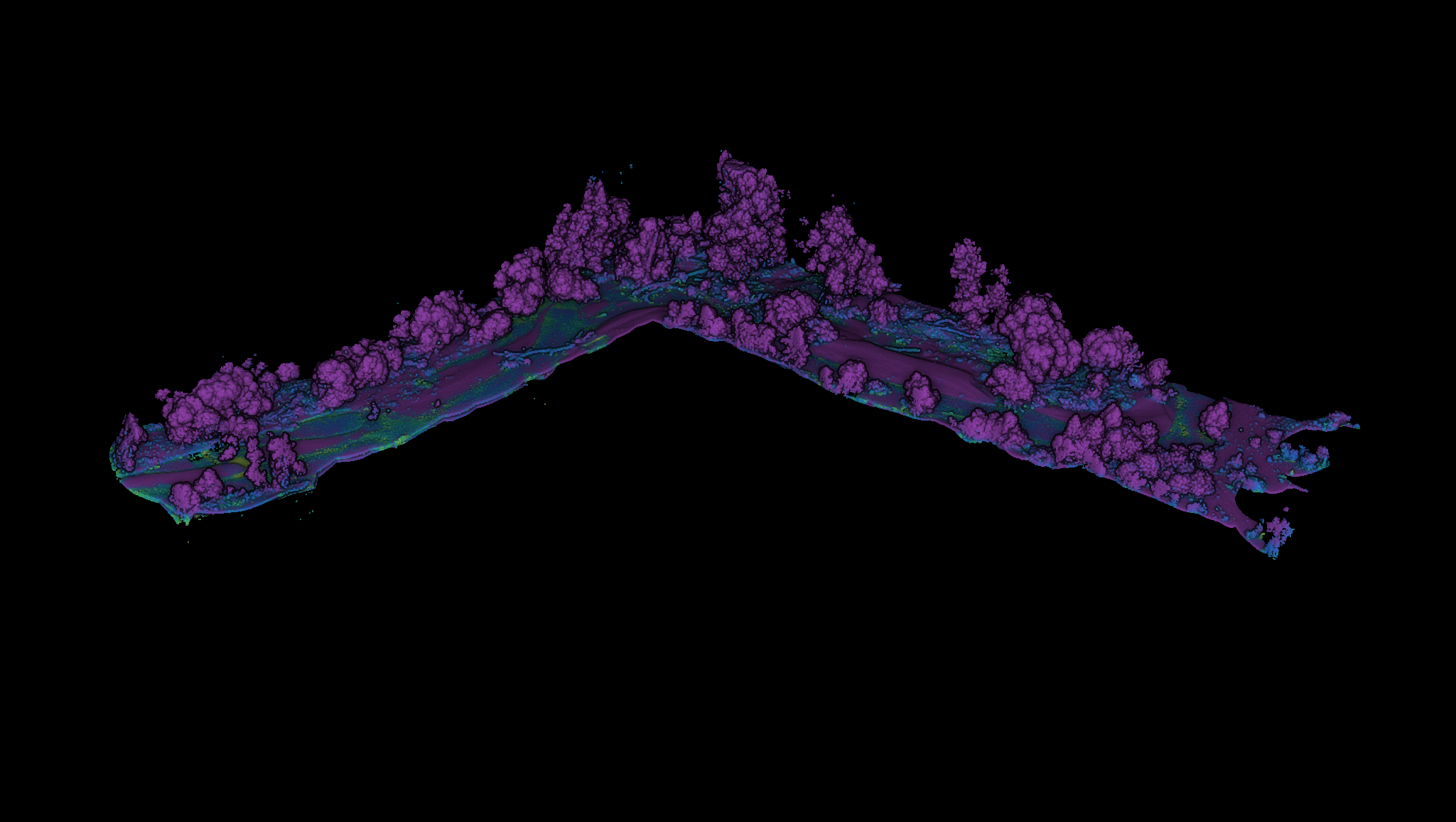
Large-scale PNOA classification in Galicia

Large-scale PNOA point-cloud classification in Galicia segments terrain, low/mid/high vegetation, and buildings to produce high-resolution surface and terrain models in dense forest areas.

This foundation supports biomass inventories, wildfire prevention planning, and official cartography updates for land and environmental management.

Environmental classification

River topobathymetry

Topobathymetric classification separates riparian vegetation, exposed terrain, water surface, and riverbed while filtering reflectance noise for accurate hydraulic modeling.

These layers enable flood simulation and erosion/deposition analysis for infrastructure planning and risk prevention.

Topobathymetric uncertainty